
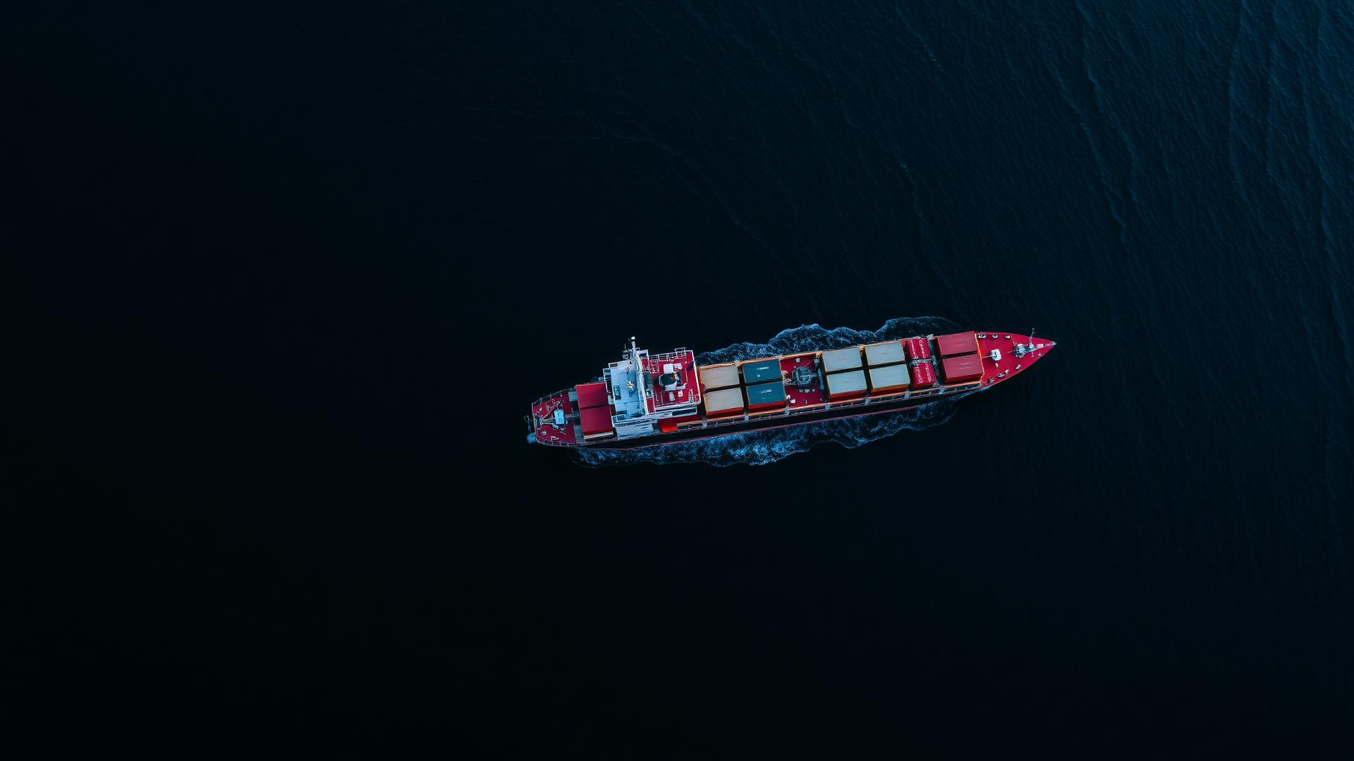
Shipborne data. Predictive intelligence.
OceanSync unlocks safety, efficiency and new revenue from vessel data — turning working ships into a scalable network of trusted real-time ocean data.
From in-situ sensing to integrated intelligence.
The proprietary onboard system, Vortex Edge™, captures high-frequency data directly from vessels and pairs it with select external feeds — delivering robust, integrated datasets and forecasts.
Vortex Edge™
Onboard data acquisition platform capturing high-resolution meteorological, navigational and vessel motion data.
CapeCast™
AI error-correction that makes global weather forecasts hyperlocal — trained on the network's own shipborne observations.
Proprietary Datasets
600M+ ocean weather observations and 438M+ AIS messages, growing daily across global trade routes.
See what satellites miss.
Vessels equipped with Vortex Edge™ don't just measure the weather — they observe the maritime environment around them, turning every ship into a sensor for maritime security.
Dark vessel detection
Cross-referencing onboard radar with AIS reveals vessels that have gone dark — operating without broadcasting their position.
GNSS spoofing & jamming detection
Our distributed network detects GPS interference as it happens, mapping where positioning signals can't be trusted.
Arctic & remote awareness
Persistent observation in high-latitude and remote waters where traditional monitoring infrastructure doesn't exist.
One network. Multiple missions.
The same live network serves commercial fleets, governments and data partners — each seeing the ocean the way they need to.
Commercial Maritime
Cargo, ferries, fishing and surveying fleets sailing safer and more efficiently.
Safer, smarter operationsGovernment & Defense
Navies and coast guards gaining persistent maritime awareness.
Maritime domain awarenessData Partners
Platforms and weather services enriching their products with OceanSync data.
Data products & APIs2.1 million nautical miles of ground truth.
Our systems have sailed the equivalent of 97 trips around the planet — collecting observations in conditions where no buoy, satellite or drone was watching.
Talk to our team